Ravine Erosion in India
A Geospatial Study of Lower Chambal Valley
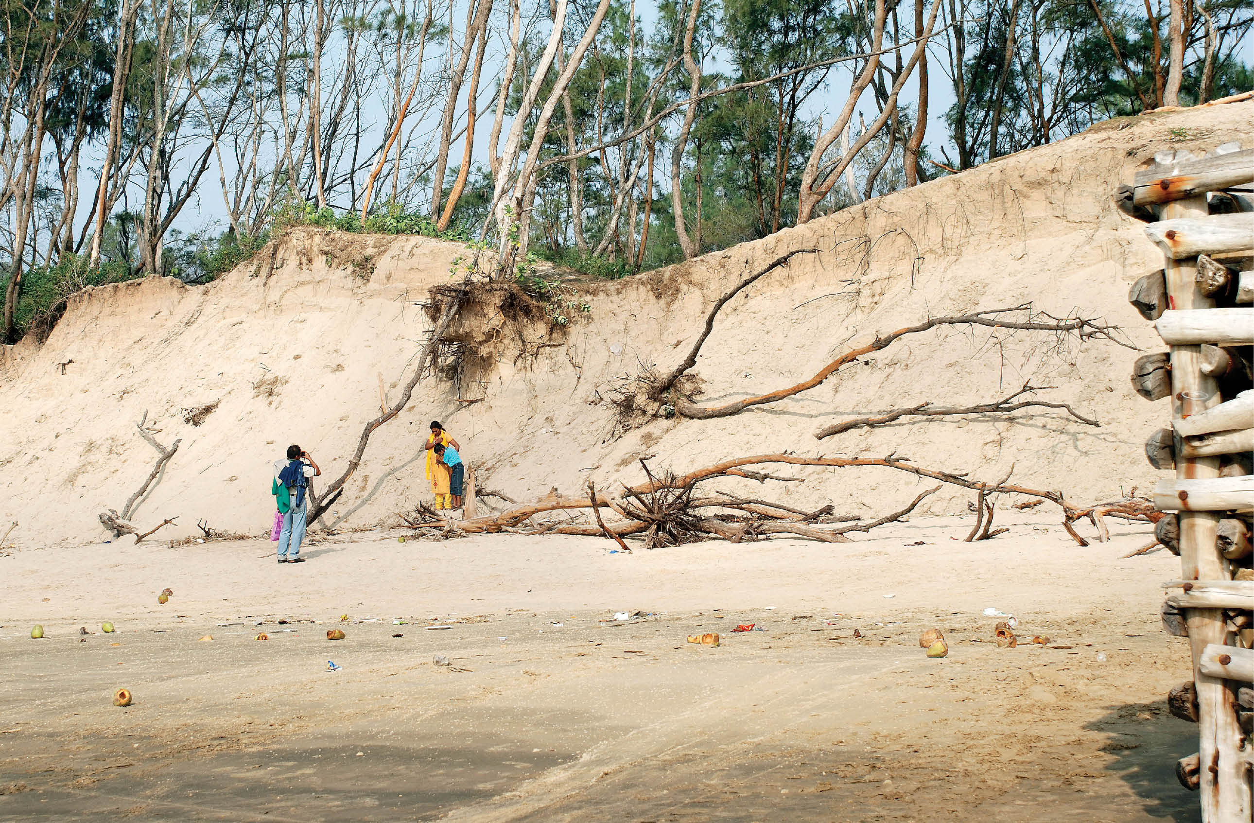
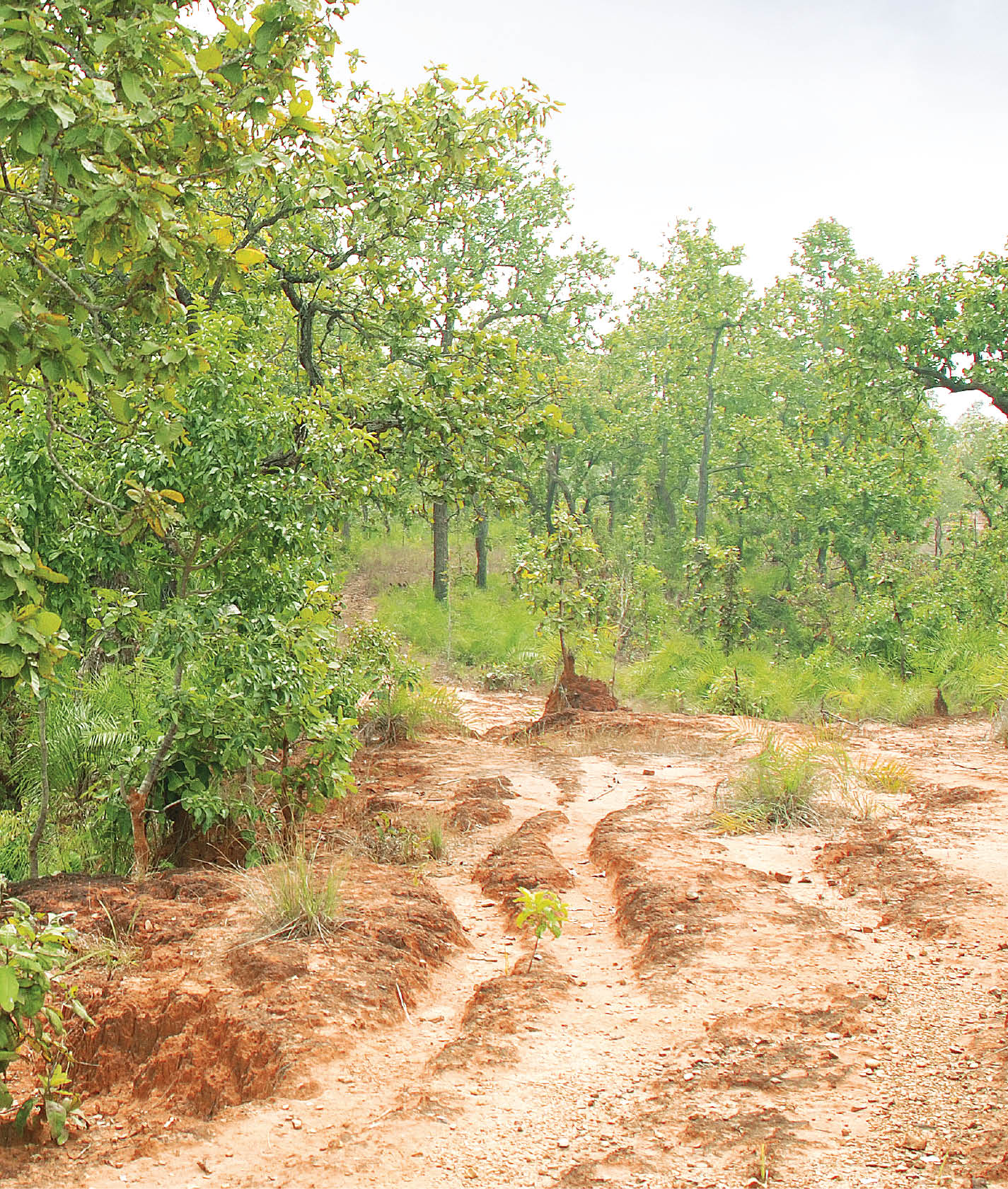
The ravines of Chambal have probably originated from tectonic activity and have till date shown no obvious relation to climate, but continued deforestation exposes the nutrient deficient soil, which exacerbates ravine expansion. Extreme climatic events in such a scenario can speed up erosion and prompt a disaster....