Photo: Samrat Flood in Ballia, Uttar Pradesh where the swollen river inundated thousands of villages.
Abstract: Remote sensing technologies serve as a management tool for authorities to forecast and issue early warning of floods. A Flood Response System developed by C-DAC focuses on near-real time flood monitoring in the Brahmaputra valley.
Authors are Senior Technical Officers, Joint Director and Associate Director, respectively Emerging Solutions and e-Gov group, Center for Development of Advanced Computing (C-DAC), Pune. manojk@cdac.in
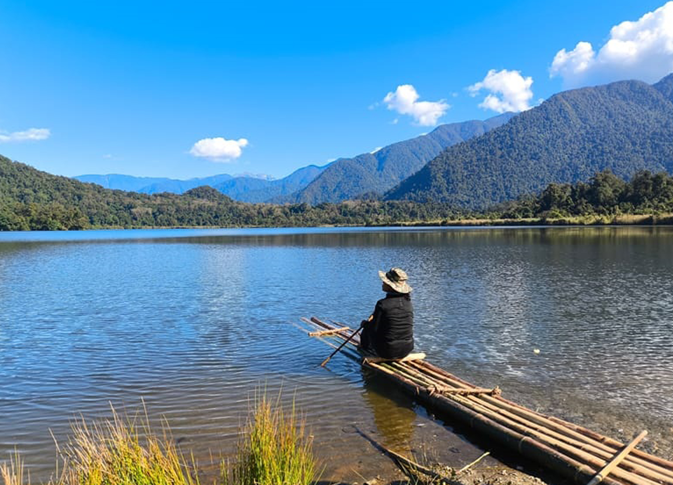
Glaw Lake was recently designated as Arunachal Pradesh’s First and India’s 101st Ramsar Site. It is located within the Kamlang Tiger Reserve and Wildlife Sanctuary. It hosts diverse flora and fauna sp...
Maritime chokepoints are vital points along shipping routes that facilitate the passage of substantial trade volumes. These chokepoints control the global essential supplies such as oil, gas, fertiliz...
What if India's pathway to net zero does not end at factories—but begins where terrestrial meets the coastal? As carbon emissions rise and climate risks intensify, the search for solutions has largely...
India is set to embark on a new chapter in its Polar exploration journey with the construction of Maitri II. The Indian government plans to establish a new research station near the existing Maitri ba...