Bioremediation-Treating oil spills biologically
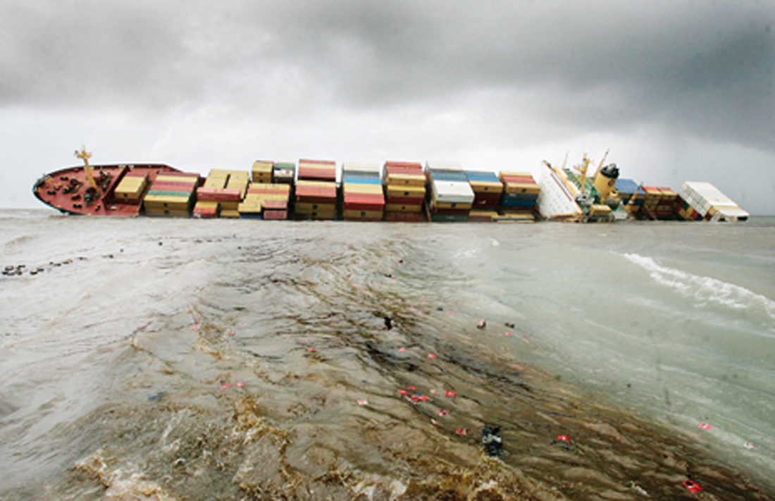
Microbes when added to contaminated environments, such as oil spill sites, can accelerate the natural biodegradation process....

ENVIRONMENT, EARTH SCIENCE, BIODIVERSITY
What if India's pathway to net zero does not end at factories—but begins where terrestrial meets the coastal? As carbon emissions rise and climate risks intensify, the search for solutions has largely...
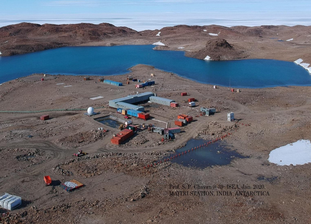
India is set to embark on a new chapter in its Polar exploration journey with the construction of Maitri II. The Indian government plans to establish a new research station near the existing Maitri ba...
.png )
The Deep Ocean Mission (DOM), approved by the Government of India in 2021 under the Ministry of Earth Sciences (MoES), represents a strategic step in realizing Sustainable Development Goal 14 (SDG 14:...
Microbes when added to contaminated environments, such as oil spill sites, can accelerate the natural biodegradation process.
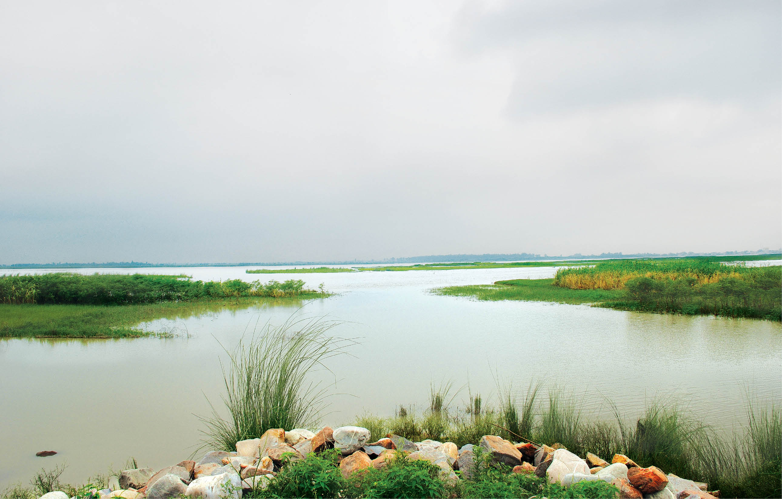
A proper integration of fluvial geomorphology and river engineering is needed to understand the flooding behaviour of rivers, especially those draining north Bihar plains.
Flood Hazard Mapping is an appropriate land use planning tool for flood prone areas as it creates easily read, rapidly accessible mechanisms which facilitate planners identify risk areas and prioritis...
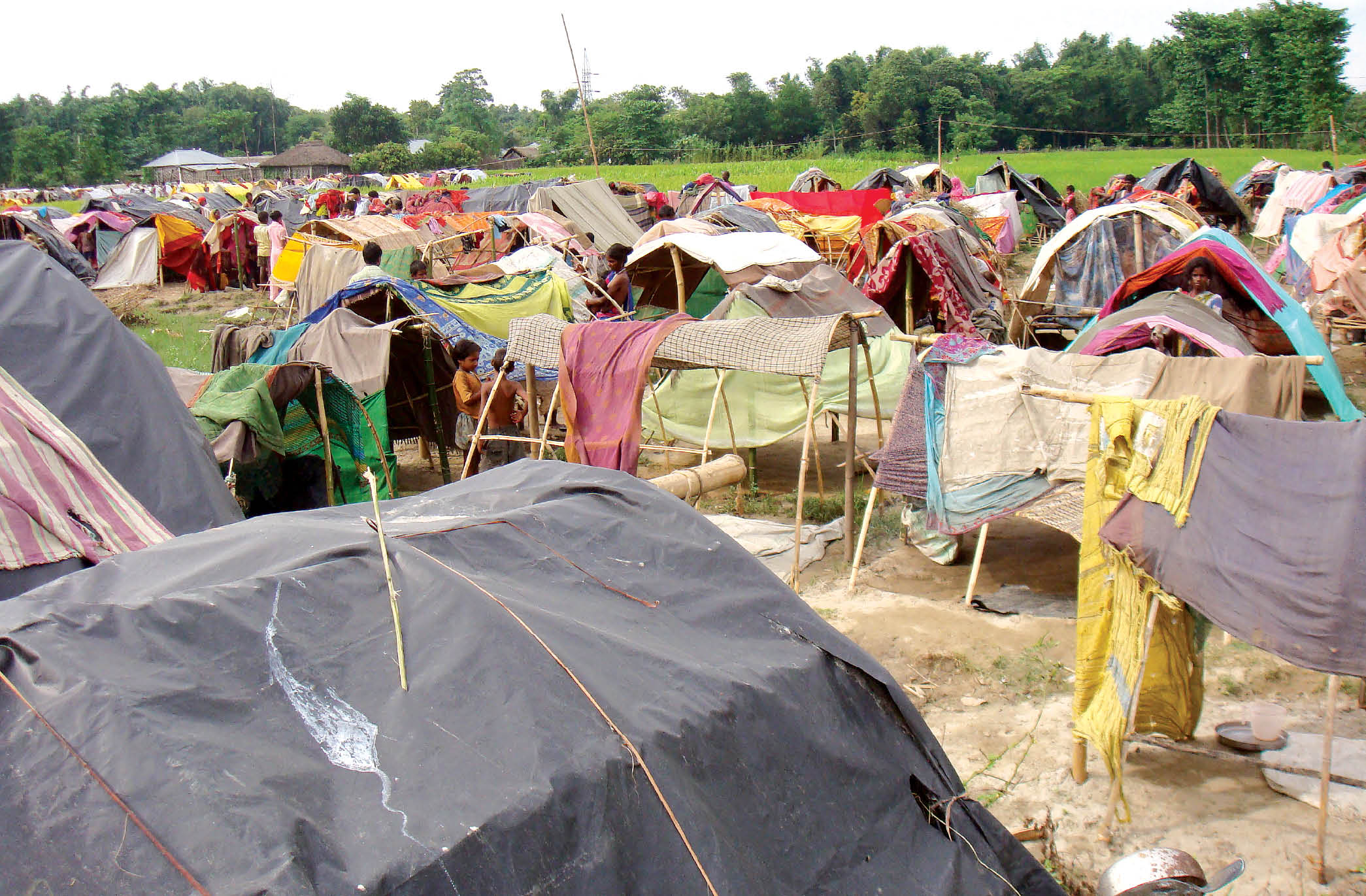
A brief outline of a plan of action for combating natural disasters has been presented for young readers.
Microbes when added to contaminated environments, such as oil spill sites, can accelerate the natural biodegradation process.
A proper integration of fluvial geomorphology and river engineering is needed to understand the flooding behaviour of rivers, especially those draining north Bihar plains.
Flood Hazard Mapping is an appropriate land use planning tool for flood prone areas as it creates easily read, rapidly accessible mechanisms which facilitate planners identify risk areas and prioritise their response efforts.