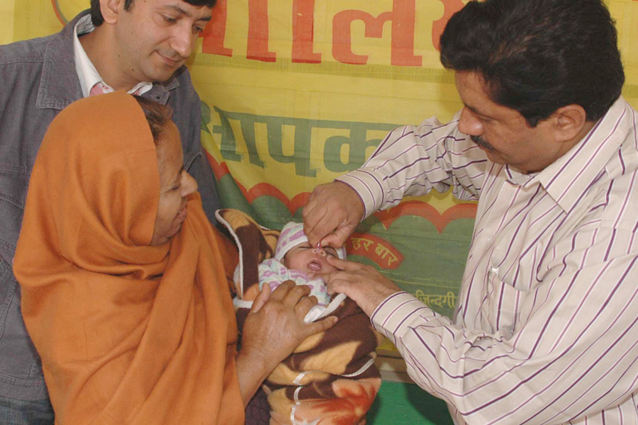
Abstract: IMapp, the Immunization App, was developed to strengthen the delivery of public health services, taking advantage of an innovative multidisciplinary approach and digital technologies like Geographic Information Systems (GIS), Remote Sensing (RS) and Machine Learning (ML). The initiative demonstrated the suitability of porting public health data on a GIS platform to get good insights into the distribution of vaccines; create an automated indexing system to monitor the efficacy of the Universal Immunisation Programme (UIP) on the ground, and geographically extend vaccination to include all rural population clusters. It was validated in the East Champaran district of Bihar, India, in the years 2019 and 2020, under the initiative Immunization Data: Innovating for Action, supported by Grand Challenges India.
The author is Founder, ML Infomap, New Delhi. manosi@mlinfomap.com. The article should be cited as Lahiri Manosi, 2021. IMapp - Modelling immunisation outreach in far-flung rural clusters, www.geographyandyou.com online.
What if India's pathway to net zero does not end at factories—but begins where terrestrial meets the coastal? As carbon emissions rise and climate risks intensify, the search for solutions has largely...
India is set to embark on a new chapter in its Polar exploration journey with the construction of Maitri II. The Indian government plans to establish a new research station near the existing Maitri ba...
The Deep Ocean Mission (DOM), approved by the Government of India in 2021 under the Ministry of Earth Sciences (MoES), represents a strategic step in realizing Sustainable Development Goal 14 (SDG 14:...
China recently announced restrictions on the export of seven rare earth elements (REEs), soon after US President Donald Trump decided to impose tariffs. As the world's dominant supplier—responsible fo...