Variability in Groundwater Level
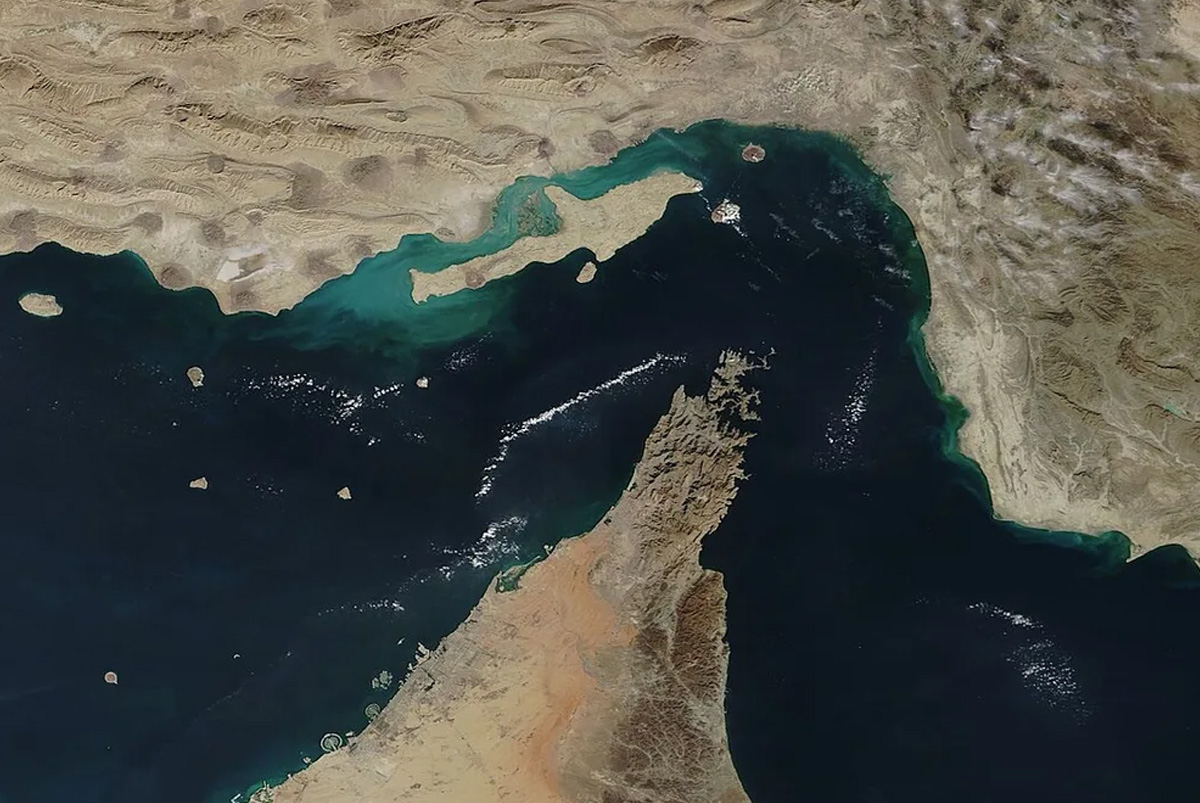
Maritime chokepoints are vital points along shipping routes that facilitate the passage of substantial trade volumes. These chokepoints control the global essential supplies such as oil, gas, fertiliz...
ENVIRONMENT, EARTH SCIENCE, BIODIVERSITY
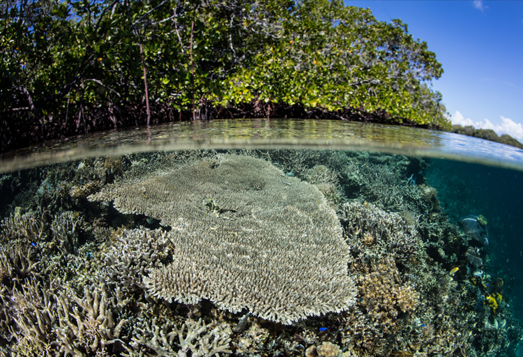
What if India's pathway to net zero does not end at factories—but begins where terrestrial meets the coastal? As carbon emissions rise and climate risks intensify, the search for solutions has largely...
India is set to embark on a new chapter in its Polar exploration journey with the construction of Maitri II. The Indian government plans to establish a new research station near the existing Maitri ba...
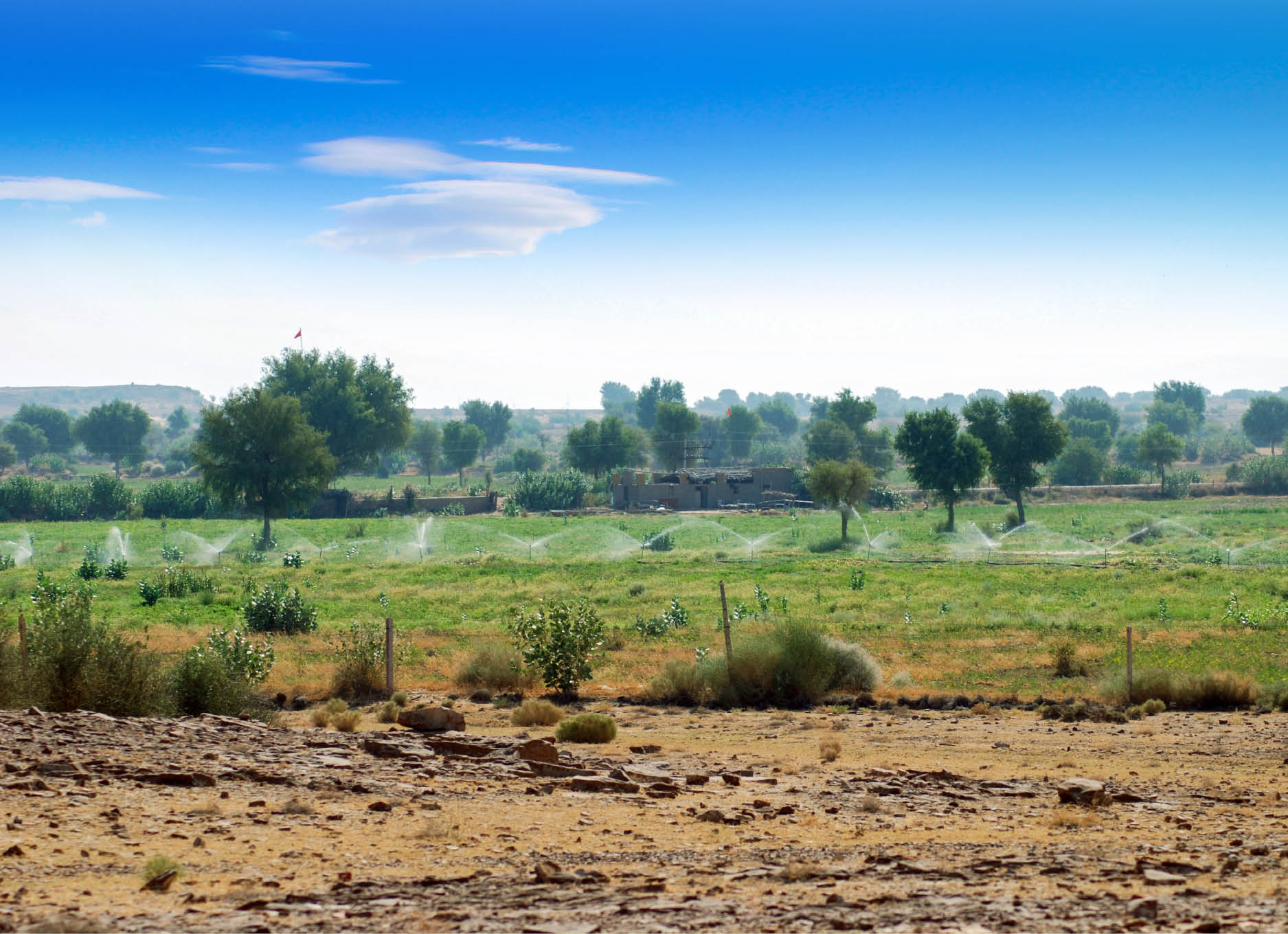
Groundwater is the largest freshwater storage, but its high abstraction rate for fulfilling the demands of ever increasing population, industrial and agricultural sectors has been leading to its signi...
Flood hazard zonation is one of the most important non-structural measures, facilitating appropriate regulation and development of floodplains and thereby reducing the flood impact. Satellite remote s...
Dams are an important component of water resource development, particularly needed for a country like India. However, these are to be constructed and managed in such a way that the adverse impacts are...
Groundwater is the largest freshwater storage, but its high abstraction rate for fulfilling the demands of ever increasing population, industrial and agricultural sectors has been leading to its significant depletion.
Flood hazard zonation is one of the most important non-structural measures, facilitating appropriate regulation and development of floodplains and thereby reducing the flood impact. Satellite remote sensing data have the capability to ‘provide comprehensive, synoptic and multitemporal coverage of large areas in near real time and at frequent intervals’ over the flood-affected regions.