DISASTER
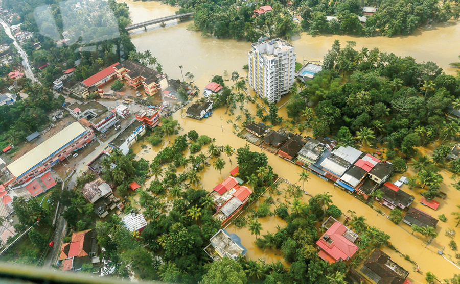
Kerala has witnessed one of the most devastating floods in history. Many lives and livelihoods were lost in just a few days. To reduce future occurrences and the impact of such calamities, it is impor...
Giriraj Amarnath
RESOURCES, DISASTER
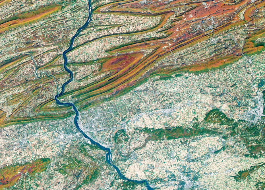
Flood is a complex outcome of an interface between geological, physiographical, hydrological, meteorological and anthropogenic dynamics. It mandates high computational techniques for the analysis of a...
S M Ramasamy
DISASTER
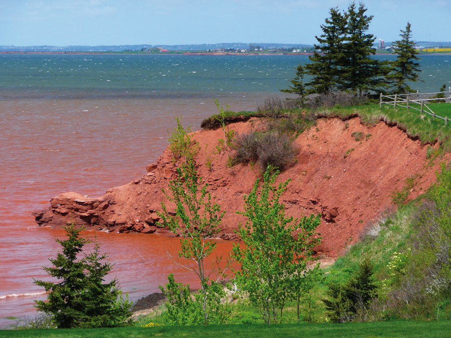
Soil erosion is the removal of the top layer by natural agents. However, deforestation, overgrazing and infrastructural development accelerate soil erosion. As soil is a critical natural resource, the...
Atiqur Rahman & Asif
DISASTER
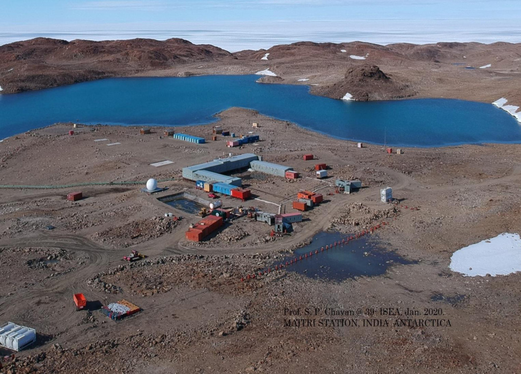
Global changes due to the influence of extraterrestrial phenomena can be studied by using various satellite based information. An attempt is made in this article to understand the influence of such ch...
Saumitra Mukherjee

.png )