g-Governance in India
Published: Nov 15, 2018
Published: Nov 15, 2018
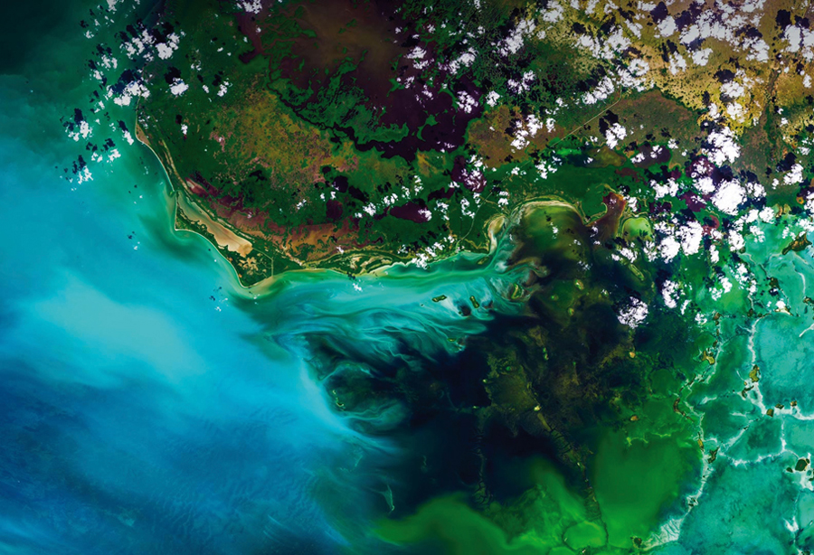
Photo courtesy: GIETZER (www.flickr.com)
Geospatial technologies allow quick identification of locations, and characteristics of a place and more; vegetation cover seen through a NASA satellite.
Keep reading with one of these options :

ENVIRONMENT, EARTH SCIENCE, BIODIVERSITY