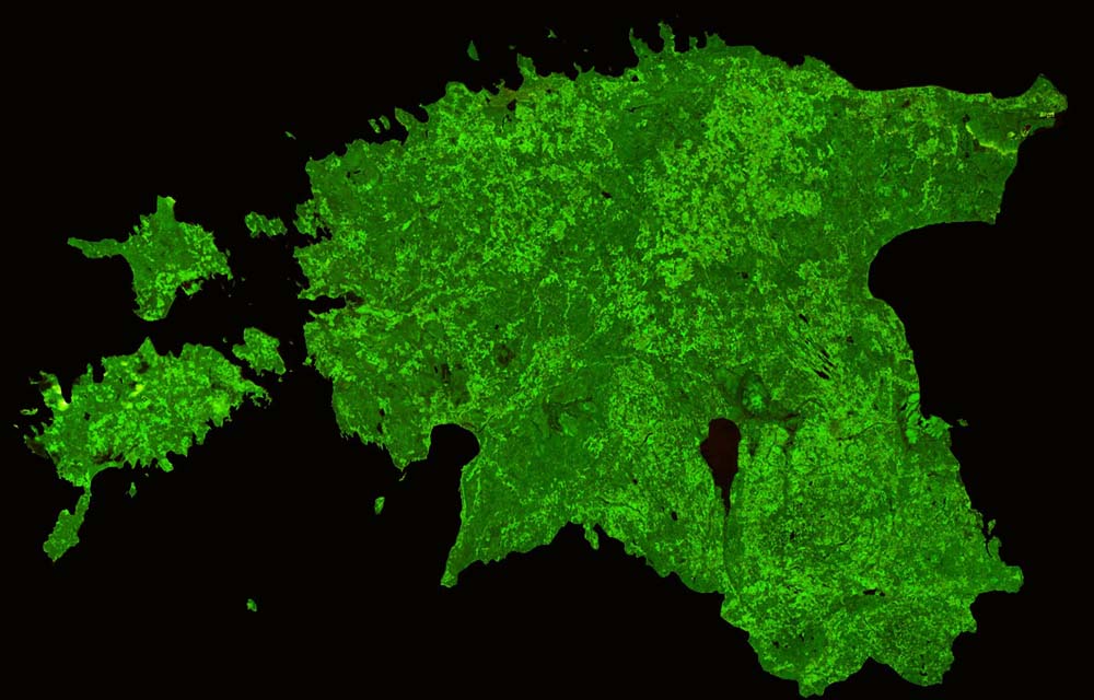
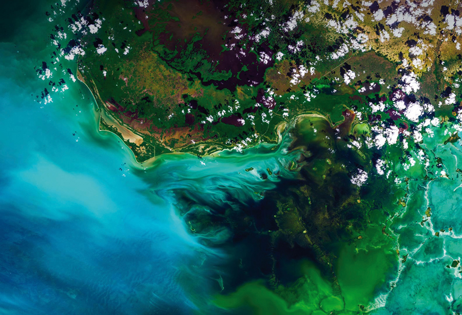
Human Induced Land Transformation and GIS
Land use is a complex and dynamic phenomenon and the changes in its pattern are attributable to human activities. The current rate of land degradation, especially in forest ecosystems, can be easily detected, mapped and sustainably managed by using GIS and remote sensing tools. Land use-land cover mapping also helps assess the regenerative status of forests....

.png )