GIS and Remote Sensing in Natural Resource Management

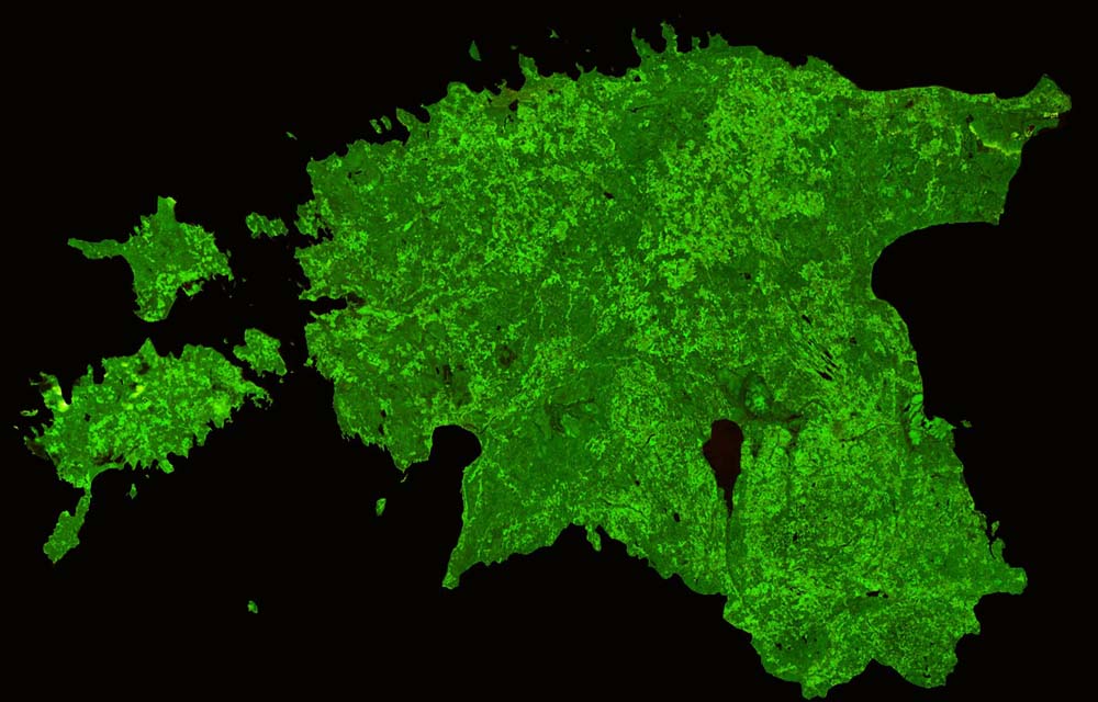
Photo Courtesy: Estonia by Proba-V

Land cover and vegetation growth can be studied both temporally and spatially through GIS and remote sensing; vegetation cover mapped using Proba-V satellite.

Abstract: Remote sensing and GIS can be used to generate data that can help achieve sustainable management of natural resources. Maps created through a GIS interface provide a fillip to analysis and bring us a step closer to visualising the complex patterns and relationships that characterise real-world planning and policy problems.

The authors are scientists at Indian Council of Agricultural Research-Central Research Institute for Dryland Agriculture (ICAR- CRIDA), Hyderabad. anjali.scientist@gmail.com