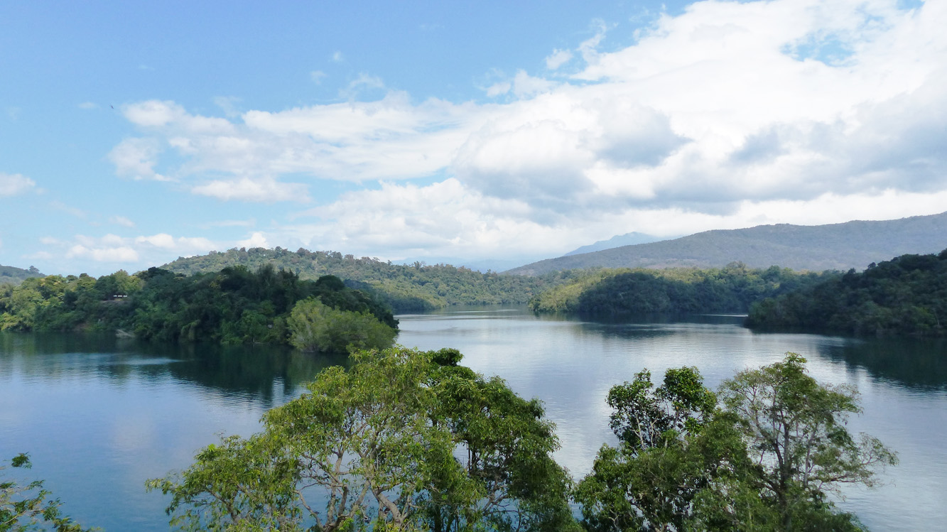
The dense forest covers in the western ghats is fast depleting, due to increased pressure over land to meet the demands of growing population.
Abstract: Land use is a complex and dynamic phenomenon and the changes in its pattern are attributable to human activities. The current rate of land degradation, especially in forest ecosystems, can be easily detected, mapped and sustainably managed by using GIS and remote sensing tools. Land use-land cover mapping also helps assess the regenerative status of forests.
The authors are Assistant Professor and Professor at the Department of Geology and Environmental Science, Christ College and School of Engineering, Cochin University of Science and Technology, respectively. profmadhugopal@gmail.com
What if India's pathway to net zero does not end at factories—but begins where terrestrial meets the coastal? As carbon emissions rise and climate risks intensify, the search for solutions has largely...
India is set to embark on a new chapter in its Polar exploration journey with the construction of Maitri II. The Indian government plans to establish a new research station near the existing Maitri ba...
The Deep Ocean Mission (DOM), approved by the Government of India in 2021 under the Ministry of Earth Sciences (MoES), represents a strategic step in realizing Sustainable Development Goal 14 (SDG 14:...
China recently announced restrictions on the export of seven rare earth elements (REEs), soon after US President Donald Trump decided to impose tariffs. As the world's dominant supplier—responsible fo...