Application of Space-borne Data in Forest Fire Detection and Burnt Area Assessment


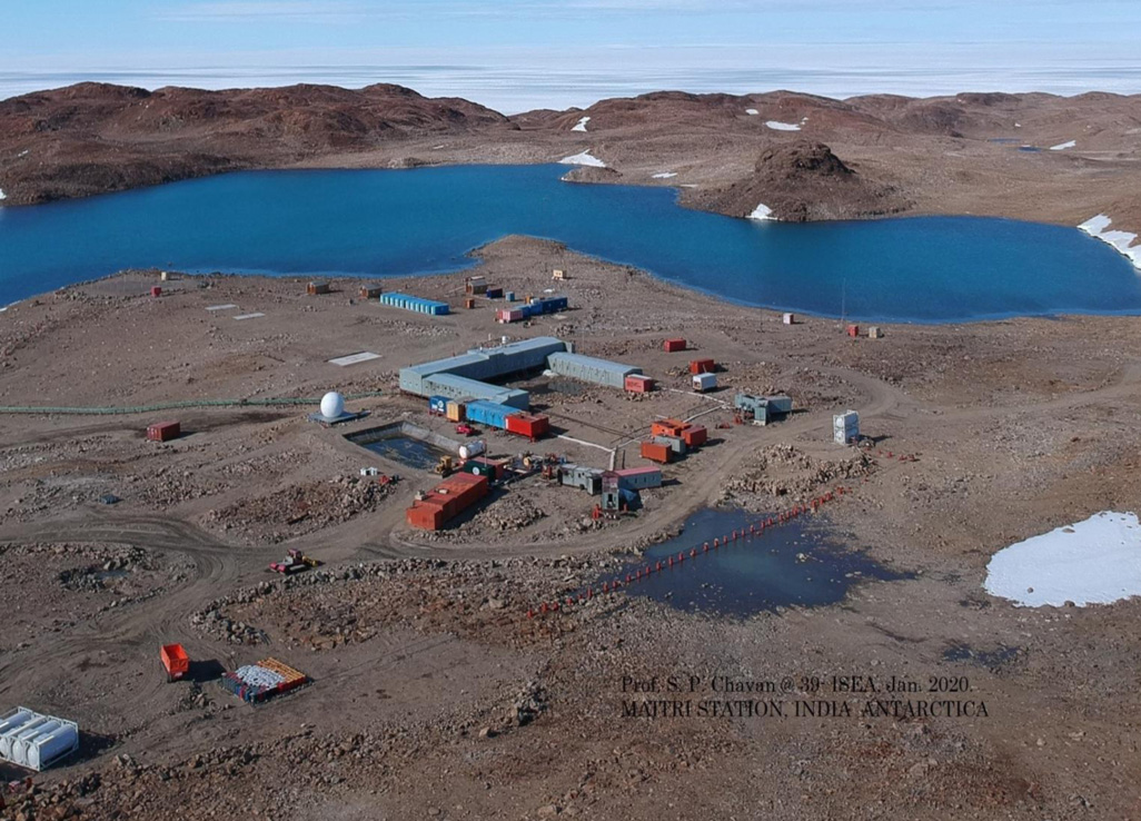
India is set to embark on a new chapter in its Polar exploration journey with the construction of Maitri II. The Indian government plans to establish a new research station near the existing Maitri ba...
.png )
The Deep Ocean Mission (DOM), approved by the Government of India in 2021 under the Ministry of Earth Sciences (MoES), represents a strategic step in realizing Sustainable Development Goal 14 (SDG 14:...

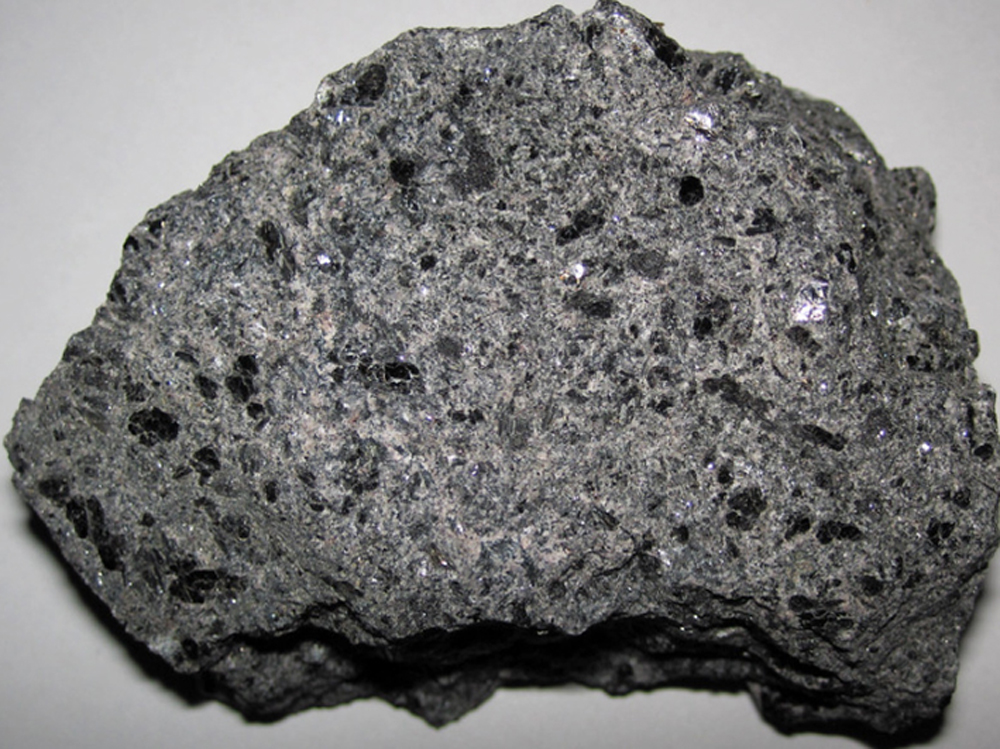
China recently announced restrictions on the export of seven rare earth elements (REEs), soon after US President Donald Trump decided to impose tariffs. As the world's dominant supplier—responsible fo...
In order to provide satellite derived input for efficient forest fire management in India, comprehensive forest fire detection and monitoring system is developed by National Remote Sensing Centre (NRS...
India is one of the important marine fish producing countries. Conventionally, for profitable fish catch, fishermen have to spend a lot of time scouting the region using up precious fuel and time as t...
Tropical cyclones are one of the most destructive meteorological hazards that form in the warm oceans and affect the surrounding countries by causing huge loss to life and property. Inputs from satell...
India is the second worst flood affected country in the world and the perennial river basins of Ganges, Brahmaputra, Mahanadi and Godavari rivers witness flooding every year. Flood forecasting, near...
In order to provide satellite derived input for efficient forest fire management in India, comprehensive forest fire detection and monitoring system is developed by National Remote Sensing Centre (NRSC), ISRO. Intra- and inter-seasonal spatio-temporal pattern of forest fires are monitored and analysed to derive regional and national level statistics for active fire locations, extent of area burnt...

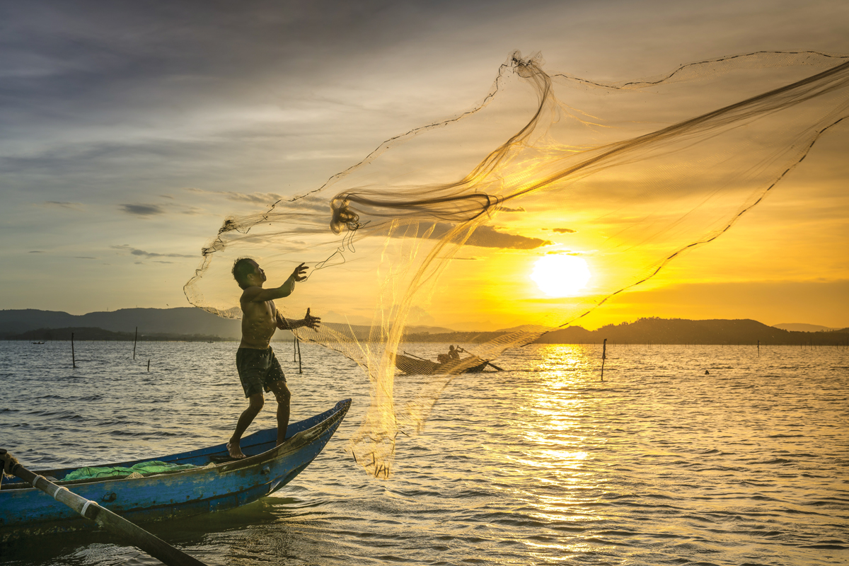
India is one of the important marine fish producing countries. Conventionally, for profitable fish catch, fishermen have to spend a lot of time scouting the region using up precious fuel and time as the fish resources are affected by spatial and temporal nature of various environmental factors like temperature, availability of food, currents, wind etc. Due to limited visibility, fishing vessels ar...

Tropical cyclones are one of the most destructive meteorological hazards that form in the warm oceans and affect the surrounding countries by causing huge loss to life and property. Inputs from satellite-based observations are efficient to monitor these cyclonic activities from genesis to dissipation.
.jpg )