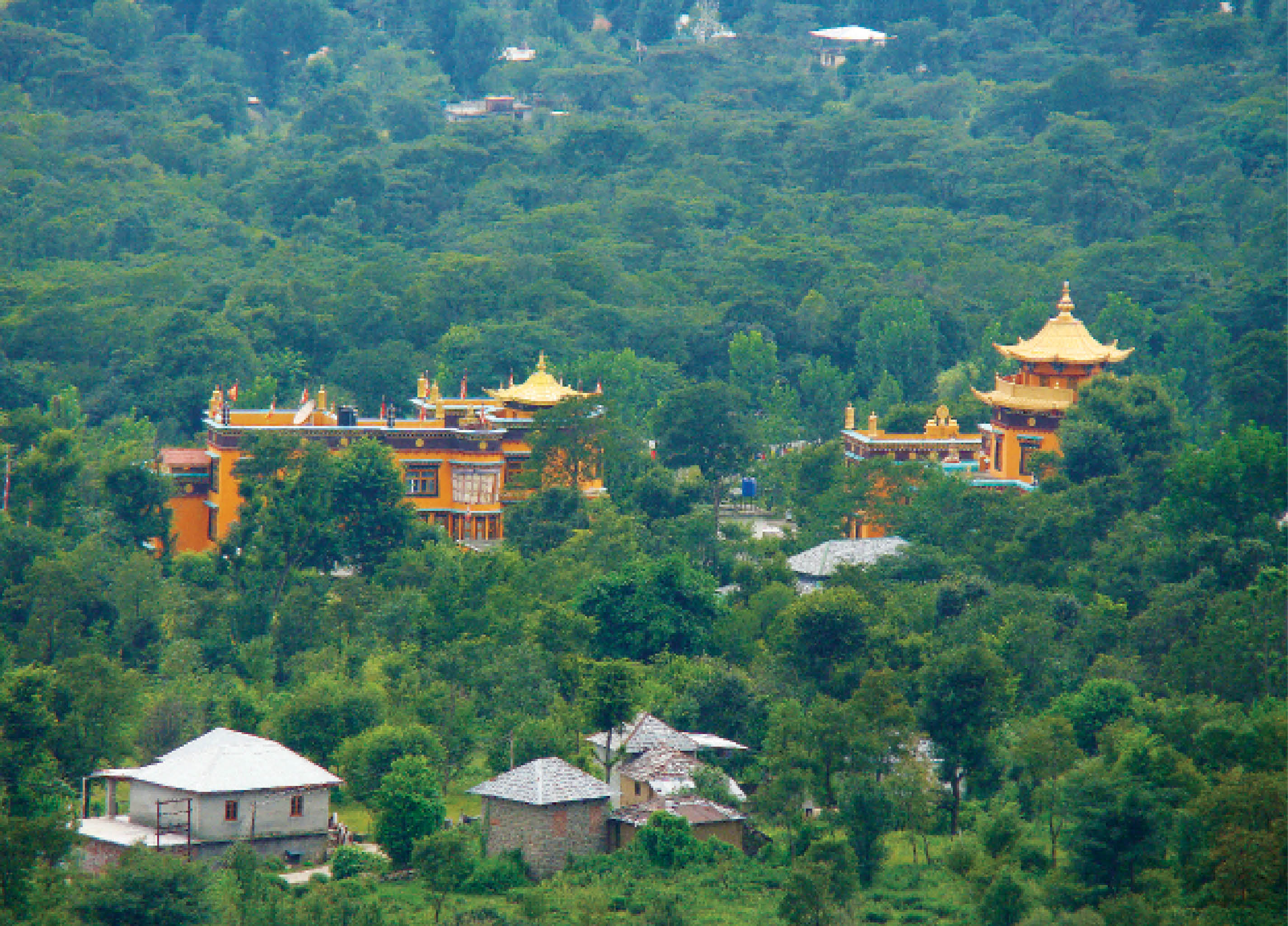
Abstract: Located in the picturesque Kangra Valley, Palampur is a tourists’ delight. Within reach from the town by short drives and walks are numerous fascinating destinations which become even more mystical in the rains.
The author is a practicing paediatrician in Delhi and an avid photographer.
What if India's pathway to net zero does not end at factories—but begins where terrestrial meets the coastal? As carbon emissions rise and climate risks intensify, the search for solutions has largely...
India is set to embark on a new chapter in its Polar exploration journey with the construction of Maitri II. The Indian government plans to establish a new research station near the existing Maitri ba...
The Deep Ocean Mission (DOM), approved by the Government of India in 2021 under the Ministry of Earth Sciences (MoES), represents a strategic step in realizing Sustainable Development Goal 14 (SDG 14:...
China recently announced restrictions on the export of seven rare earth elements (REEs), soon after US President Donald Trump decided to impose tariffs. As the world's dominant supplier—responsible fo...
Attribute data is descriptive information about features or elements of a database. E.g. street names, street types (highway, side street, etc.), and pavement types.
AM/FM is an acronym for automated mapping and facilities management. AM/FM applications are a specialised GIS. The systems are used by public and private utilities, city and state governments, and other organisations that require careful management of a widely distributed collection of capital equipment, stock, or ‘facilities’. AM/FM most commonly describes databases designed to manage networks of roads, pipes, and wires.
Base maps provide the background upon which thematic data is overlaid and analysed. In a GIS, the term usually refers to information about relatively permanent, sometimes timeless, features including topography, pedology, geology, cadastral divisions, and political divisions.
A zone of a specified distance around features in a geographic layer. Buffers can be set at constant or variable distance based on feature attributes. The resulting buffer zones form polygonal coverages.
Currency measures how recently the map data was collected, usually expressed as the revision date.
Digitising is the process of converting existing data from paper maps as well as drawings and aerial photos into digital form by (1) manually tracing the maps on hardware that consists of a digitiser table and a cursor with crosshairs and keys used to record map features as x, y coordinates or (2) scanning the map and using automatic conversion software to translate the resulting raster file to vectors and storing it directly in the GIS.
Edge matching is an important part of the creation of a digital map or GIS database. One digital map may encompass many paper maps. But when the paper maps are laid edge-to-edge, features running across the boundaries of the map sheets are not always properly aligned. Edge matching is a term applied to a variety of techniques employed to resolve these inconsistencies, including warping and rubber sheeting.
Layers are a means of organising and managing map data by type. Hydrological features (such as floodplains), parcel maps, railroads, and so on can be contained on separate layers for easy map creation and maintenance. Layers are also referred to as coverages or themes.
Raster data takes an evenly spaced grid (like a piece of graph paper) and places a value in each square, or cell. Raster data is best suited for continuous data such as slope, rainfall, or the amount of light reflecting off the ground - as in a photograph.
Vector data is the storage of x, y, z coordinates connected to form points, lines, areas, and volumes. Vector data is best suited to store discrete, well defined data that can clearly be delimited. Location of oil wells (points), street centrelines (lines), timber stands (areas), and groundwater tables (volumes) are good candidates
for vector storage.