Abstract: Land Degradation and Climate Change
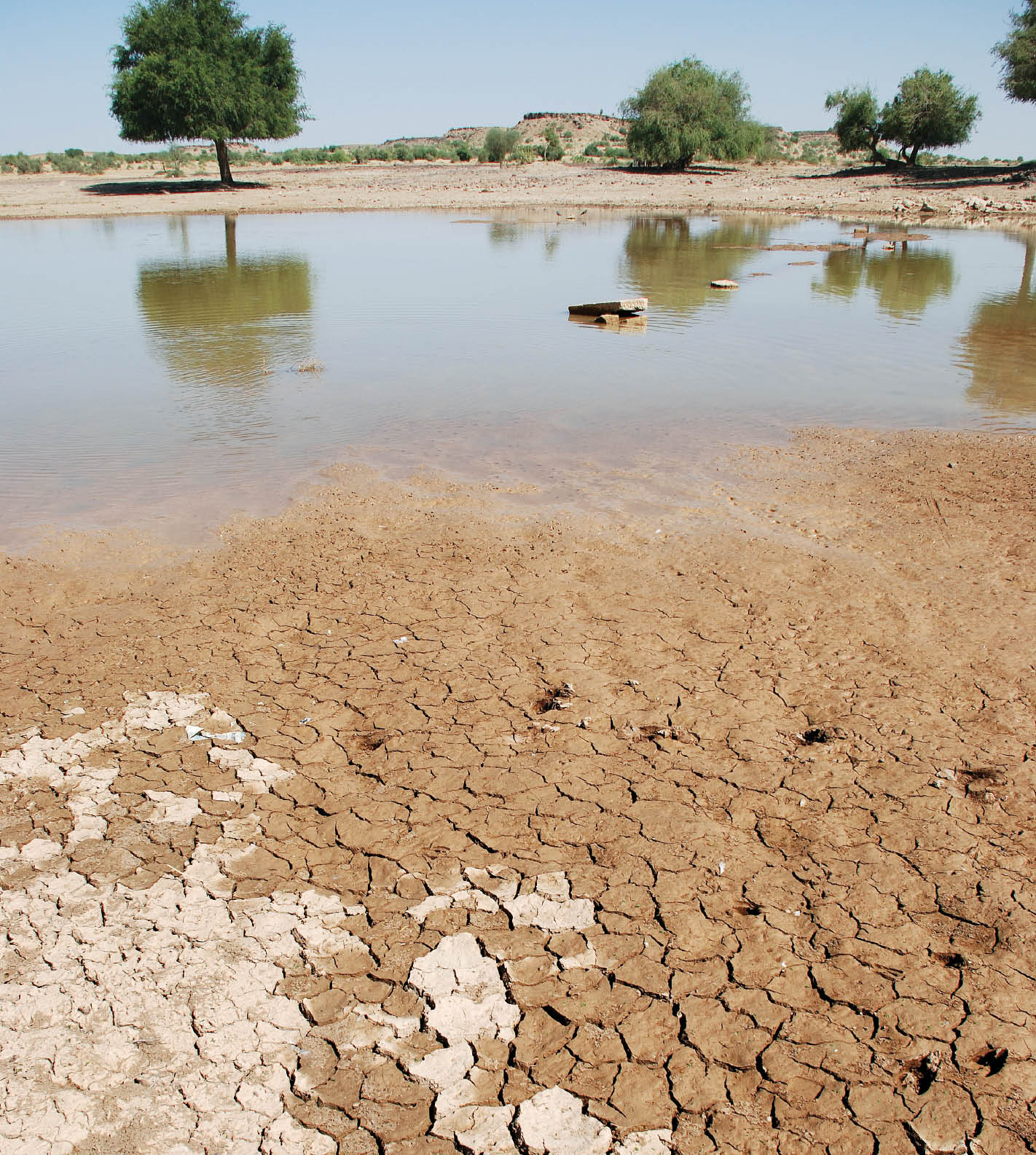
The vulnerability of drylands is now markedly visible with acres of cropped land degraded. The 1977 Landsat MSS image, shows Ghaggar Diversion Channel bringing excess water of Ganga Canal to the interdune plains. The fertile valley of the Drishadvati palaeochannel, with crop lands depicted in blue, covering about half the image can be seen. The 2000 Landsat ETM image shows the same area where the Drishadvati palaeochannel is full of water that seeped out of the flooded interdunes. Milky white tone is indicative of the salinity developed due to waterlogging while red, indicates cropped lands, which show a steep decline from the previous image.
The author is Principal Scientist and Head of Division of Natural Resources & Environment, Central Arid Zone Research Institute (CAZRI), Jodhpur.
What if India's pathway to net zero does not end at factories—but begins where terrestrial meets the coastal? As carbon emissions rise and climate risks intensify, the search for solutions has largely...
India is set to embark on a new chapter in its Polar exploration journey with the construction of Maitri II. The Indian government plans to establish a new research station near the existing Maitri ba...
The Deep Ocean Mission (DOM), approved by the Government of India in 2021 under the Ministry of Earth Sciences (MoES), represents a strategic step in realizing Sustainable Development Goal 14 (SDG 14:...
China recently announced restrictions on the export of seven rare earth elements (REEs), soon after US President Donald Trump decided to impose tariffs. As the world's dominant supplier—responsible fo...