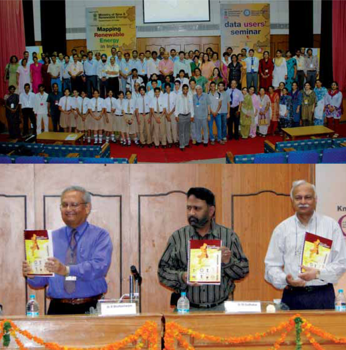
Abstract: A three day National level Data Users’ Seminar for over 100 senior secondary school teachers and 50 students from Uttarakhand was held in Dehradun from 25 to 27th July 2010.
What if India's pathway to net zero does not end at factories—but begins where terrestrial meets the coastal? As carbon emissions rise and climate risks intensify, the search for solutions has largely...
India is set to embark on a new chapter in its Polar exploration journey with the construction of Maitri II. The Indian government plans to establish a new research station near the existing Maitri ba...
The Deep Ocean Mission (DOM), approved by the Government of India in 2021 under the Ministry of Earth Sciences (MoES), represents a strategic step in realizing Sustainable Development Goal 14 (SDG 14:...
China recently announced restrictions on the export of seven rare earth elements (REEs), soon after US President Donald Trump decided to impose tariffs. As the world's dominant supplier—responsible fo...
A type of delta formed by the outgrowth of natural river into a body of water to form a
finger-like pattern, reflecting the number of distributary streams.
The cycle of water movement through the earth-atmosphere system, initiated through the acquisition of water vapour by evaporation and transpiration from water and land surfaces released into the atmosphere by condensation and deposited on land and water surfaces by precipitation.
A well achieved by boring down into an aquifer enclosed by an impermeable strata within an artesian basin.
The rights of an owner whose land abuts water. They differ from state to state and often depend on whether the water is a river, lake, or ocean. The doctrine of riparian rights is an old one, having its origins in English common law. Specifically, persons who own land adjacent to a stream have the right to make reasonable use of the stream. Riparian users of a stream share the streamflow among themselves, and the concept of priority of use (Prior Appropriation Doctrine) is not applicable. Riparian rights cannot be sold or transferred for use on non-riparian land.
A reduction in water quality caused by increasing its temperature, often due to disposal of waste heat from industrial or power generation processes. Thermally polluted water can harm the environment because plants and animals can have a hard time adapting to it.
The lowest cold water layers at the bottom of a thermally stratified lake or ocean. Lake stratification is the separation of lakes into epilimnion (top layer), thermocline (middle layer) and hypolimnion (bottom layer).
Spread over an area of 9630 sq.km, Sunderban is the largest delta in India and has been declared as the UNESCO World Heritage Site in 1997. The delta primarily consists of mangrove forests covering its 54 tiny islands, most of which are crisscrossed by innumerable brackish distributaries of the river Ganga.
The line on a map joining points in the ocean having the same degree of salinity.
A flood caused by the sudden release of an ice-dammed or englacial lake, often with disastrous consequences is known as a Jökulhlaup - an icelandic term, where these outbursts are
not uncommon.
The deep clear water body which has a low nutrient content and is therefore unable to support large aquatic flora and fauna.
A type of cloud, dark grey in colour, occurring in sheets thick enough to blot out the Sun. Low tagged fractus clouds frequently occur beneath its base, which occurs between 900 and 3,000 m i.e. at low altitudes.