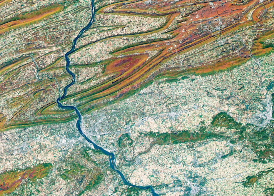
GIS technology coupled with remote sensing can be used to understand and predict the changes that may lead to floods.
Abstract: Flood is a complex outcome of an interface between geological, physiographical, hydrological, meteorological and anthropogenic dynamics. It mandates high computational techniques for the analysis of a large volume of hierarchical pictorial data. GIS technology, inseparably interleaved with remote sensing, helps to panoramically beam complex issues involving river floods and the feasibility of detecting and mitigating them.
The author is a Distinguished Professor, Dept. of Geology, Alagappa University, Karaikudi. smrsamy@gmail.com
What if India's pathway to net zero does not end at factories—but begins where terrestrial meets the coastal? As carbon emissions rise and climate risks intensify, the search for solutions has largely...
India is set to embark on a new chapter in its Polar exploration journey with the construction of Maitri II. The Indian government plans to establish a new research station near the existing Maitri ba...
The Deep Ocean Mission (DOM), approved by the Government of India in 2021 under the Ministry of Earth Sciences (MoES), represents a strategic step in realizing Sustainable Development Goal 14 (SDG 14:...
China recently announced restrictions on the export of seven rare earth elements (REEs), soon after US President Donald Trump decided to impose tariffs. As the world's dominant supplier—responsible fo...