Haryana’s Disappearing Lakes
Published: Nov 5, 2018
Published: Nov 5, 2018
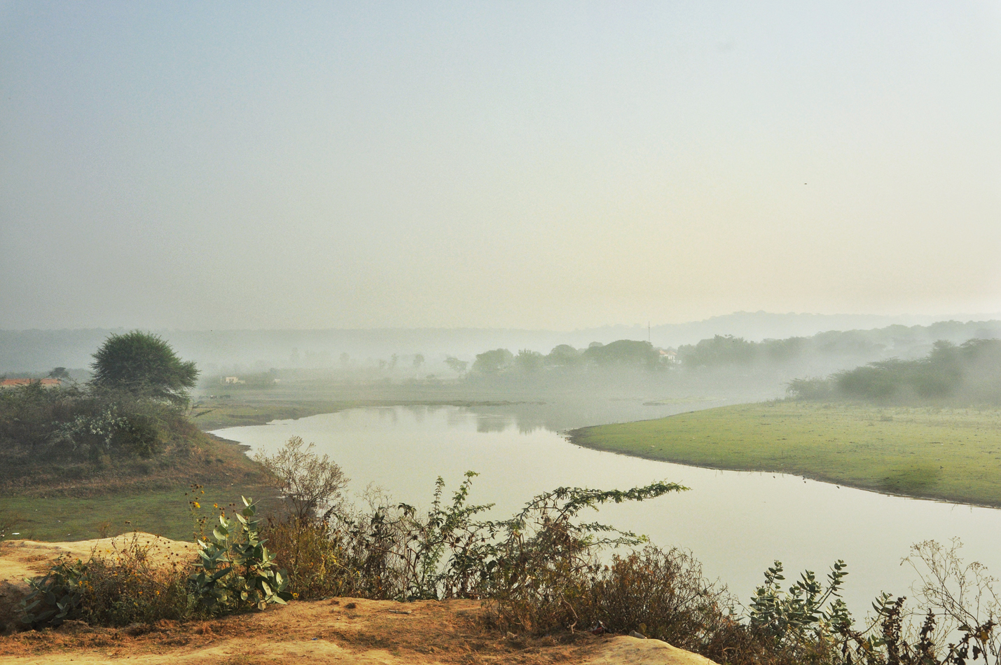
Photo: Prasad
The post-monsoon Damdama in 2018, showing exposed grassy banks with a truncating expanse of water at the far end, which in earlier times would extend well into deeply forested tracts. In summer the lake dried up to a mere puddle.
Keep reading with one of these options :

ENVIRONMENT, EARTH SCIENCE, BIODIVERSITY