Polar Regions | Remote Sensing Approach
Published: Dec 31, 2019
Published: Dec 31, 2019
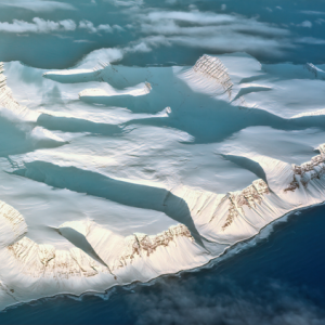
Remote sensing is a space-based satellite technique preferred for its repetitive coverage of inaccessible and rugged terrain for surface characterisation. This paper showcases climate change in the vulnerable polar realms by adapting different algorithms to the satellite technology to infer surface signatures.
Keep reading with one of these options :

ENVIRONMENT, EARTH SCIENCE, BIODIVERSITY